
 Slovenščina
 English
 Deutsch
 Bosanski
 Dutch
Dutch Hrvatski
 Čeština
 Dansk
Dansk Dutch
Dutch Suomi
Suomi Français
 Deutsch
 Magyar
 Italiano
 Polski
 српски
 Slovenčina
 Español
 Svenska
 Deutsch


Use a map
In this article
This post is also available in:
![]()
![]()
![]()
![]()
![]()
![]()
![]()
![]()
![]()
![]()
![]()
![]()
![]()
![]()
![]()
![]()
![]()
![]()
![]()
![]()
Use a map
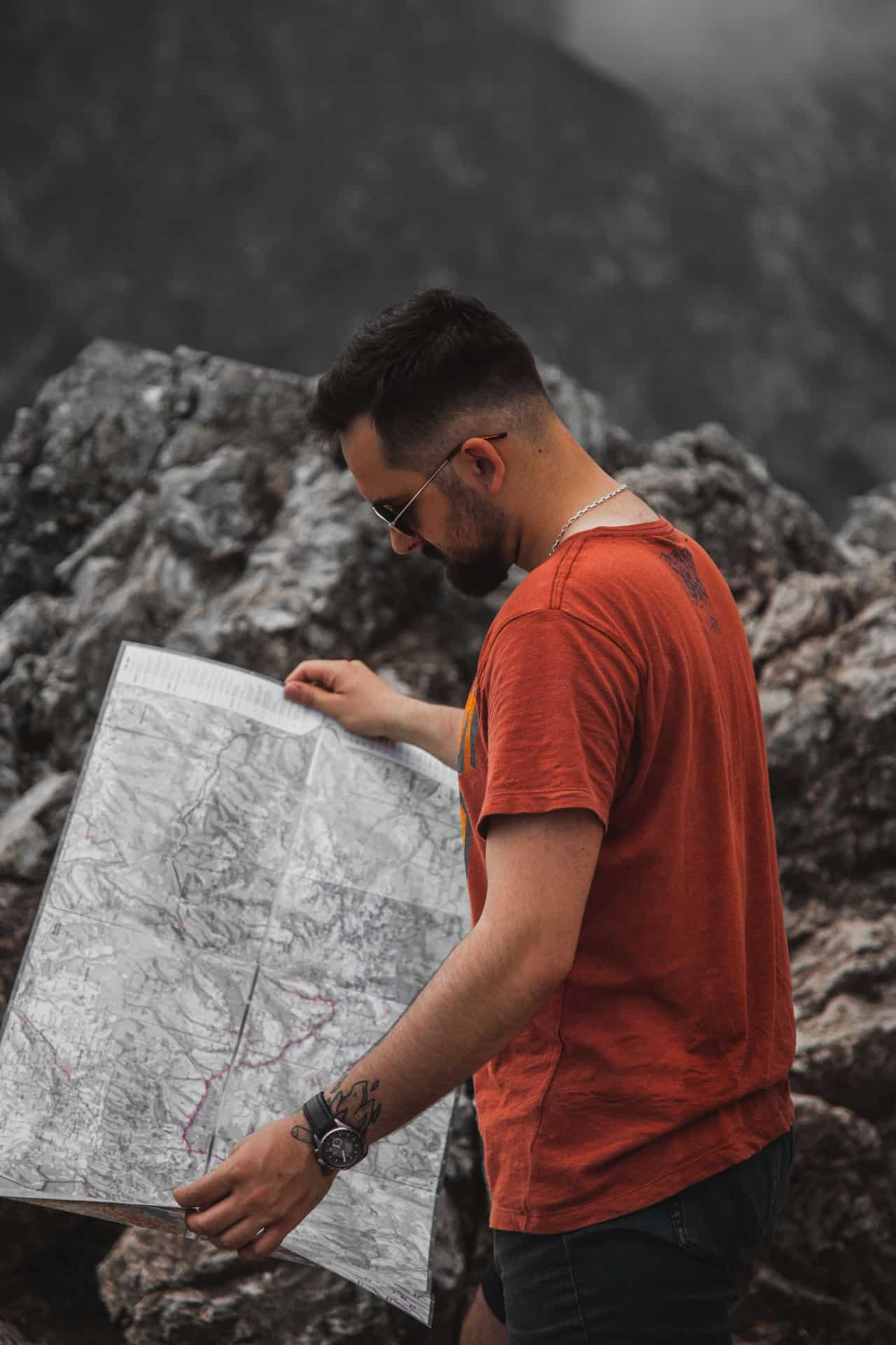
Use a hiking map
The proper hiking maps in the backpack is as essential as drinking water.
Choose a hiking trail regarding the hiking map and the Alpine Association of Slovenia apps https://mapzs.pzs.si/home/trails or https://outdooractive.com. Some other applications can show untruth data and closed paths, which can be dangerous.
Ask tourist information centres for the current conditions. We also sell some maps in Erjavčeva mountain hut. Ask our staff.
Book accommodation in mountain huts like Erjavčeva mountain hut for a multi-day hike.
Remember to wear the appropriate hiking shoes and climb your nails.
Good luck, enjoy nature and stay respectful and safe.
Popular topics
- Rooms and accommodations in the Alpine hut
- Your stay in a Mountain hut at Vršič in Kranjska Gora
- Is it Vršič pass open or just Transit
- Live and travel like a local
- Affordable accommodation in Kranjska Gora
- Perfect location in Slovenia
- Frequently asked question
- Renting Mountain Hut for Special Occasions: The Perfect Setting for Unforgettable Celebrations
- Weather at Vršič pass
- Slovenia Nature Parks
- Postcard from Erjavčeva koča
- Among the mountains 2026 calendar
- Mountain Huts in Slovenia: Tradition, Restoration, and Community Significance
Your next destination in Slovenia?

Trips and Hikes


")
Reserve your stay at the Erjavčeva koča mountain hut


